Construction progress · drone programme
The same aerial views of your site, every month
A 12-visit programme, flown at weekends on a saved route, with the report delivered within 5 days of each visit.
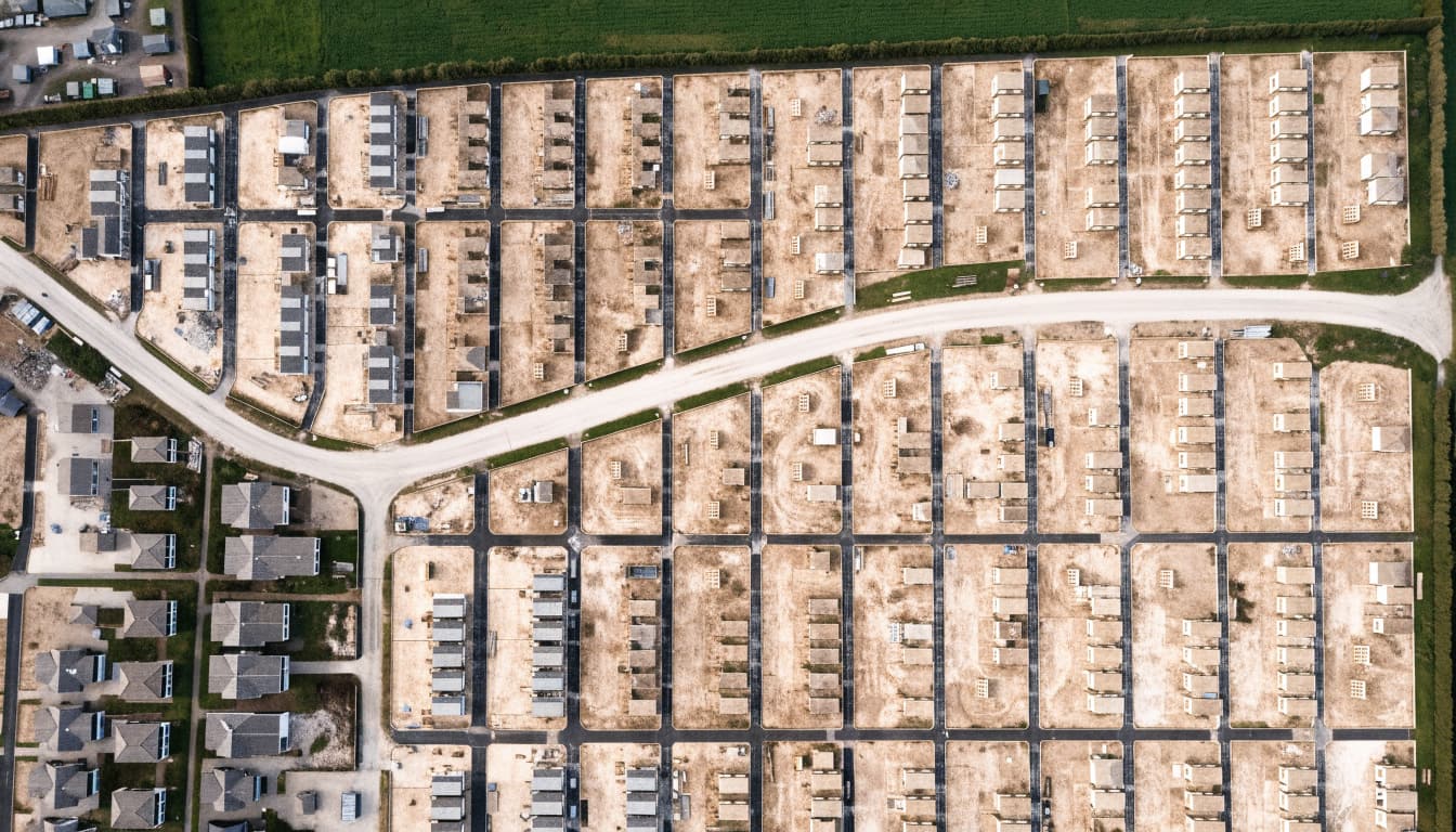
How the programme works
Free first visit
We walk the boundary with you (or your site manager), agree access, and fly the first route. You see the output before you commit.
A fixed window each month
Each visit has a window of ±7 days around its planned date. We pick the best-weather weekend day inside it. If a whole month is lost to weather, that visit rolls forward rather than being skipped.
Delivered within 5 days
Annotated stills, the flythrough and the progress PDF arrive within 5 days of the visit.
What you get
Annotated stills
The same set of views every visit, labelled with date, view number and position.
60-second flythrough
A short aerial video of the whole site, flown on the same path each month.
Progress PDF
A short written summary of what is visibly different since last month, ready to drop into a client or funder report.
Month-on-month comparison
Matching views side by side, so change is easy to see and easy to date.
Why a saved route matters
Ad-hoc photos are hard to compare: the angle, height and framing change every time. A saved route repeats the same positions each visit, so the only thing that changes between months is the site. That makes the record useful long after the visit: for valuations, for claims, and for answering “when was that slab poured?”
What clients use it for
- Client and funder progress reports
- Marketing and sales imagery for the development
- A dated record if a dispute comes up about when work happened
- Health and safety records and site-logistics planning
Pricing
Sold as a 12-visit programme, not one-off visits.
| Monthly visit, 12-visit programme | £450per visit |
|---|---|
| Fortnightly visits | £800per month |
| Route day: 3–4 sites in one area, flown the same day | £1,350–1,800per day |
| Travel | 45p/mile beyond 20 miles |
Multi-site clients: ask about a route day, which is usually the best value. Prices in pounds sterling. No VAT is added: we aren't VAT-registered.
Sample progress report
A sample PDF made from illustrative images, so you can see the layout before your first visit.
A downloadable sample report is being prepared. Ask for one with your free first visit.
Questions
Why weekends?
Weekends are usually quiet: less plant moving and fewer people to keep clear of, and no work has to stop for us. We only need agreed access.
What do you need from us on site?
Access arrangements for the visit window and a contact we can reach if something changes. We don't need anyone to stay with us.
My site is near Dundee Airport. Can you still fly it?
Possibly, but it isn't automatic. Some Dundee sites sit inside the airport's Flight Restriction Zone. We check every site against the official drone map before quoting and, where it's needed, we apply to Dundee Airport's air traffic services for permission. Permission is their decision and needs notice, so we build the lead time into your schedule. If permission isn't given for a date, we don't fly that date.
What happens if the weather is bad?
We fly only when conditions are suitable. Each visit has a window of ±7 days, which gives us more than one weekend to choose from. If no day in the window is suitable, the visit rolls forward.
Is the drone flying itself?
No. The route is saved so the positions repeat, but a pilot is at the controls for every flight, can take over at any moment, and keeps the aircraft in sight the whole time.